Explore the great outdoors!
Planning a bush walk and not too sure what to expect? Why not get trail-side using Google Street View? A couple of years ago, NSW National Parks & Wildlife partnered with Google to use the Trekker, a backpack-mounted 360-degree camera and GPS system that allowed NPWS officers to walk popular as well as more inaccessible national park trails to capture the trail as it really looks!
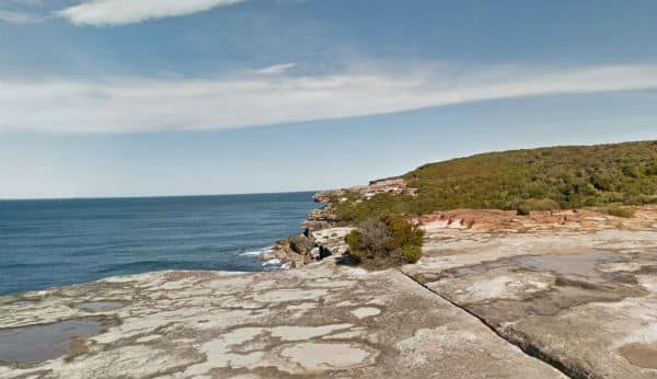
View from the headlands of the Royal National Park
For example, using the image below you can walk along The Coast Track in the Royal National Park in NSW.
Move your mouse around the image to find the arrows and then click to move along the track.
Similar to the technology Google used to stitch together photos for the International Space Station tour, you can now take a virtual tour of the trails from the comfort of your device… and it’s fantastic! Below is the Mount Kosciuszko Summit walk in Kosciuszko National Park;
Check out Hyams Beach in Jervis Bay!
More about Google Trekker and NPWS
How can you use these virtual tours as an educator?
Well, as you have a closer view of the trail vegetation, why not try to conduct a botanical field study? The trial’s effectively act as an ecological transect, which means that students can try zoom in on the vegetation to identify the species depicted when aided by vegetation species lists and field guides to the areas depicted. This gives you an opportunity to discuss the advantages and disadvantages of using remote devices to conduct biological surveys, plus perhaps plan for an eventual school field trip to the site you’re surveying!
So, next time you’re planning on setting out on a bush walk, perhaps it’s worth visiting Google Maps and clicking on street view, you just might discover a virtual tour many people might not have yet seen!
Happy teaching,
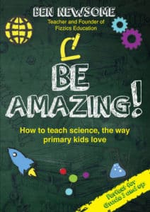
NEW Primary science teaching book!
“Be Amazing! How to teach science, the way primary kids love”
![]()
Want more ideas for teaching science?
Subscribe to the FizzicsEd Podcast!


Calendar of Events

HIGH SCHOOL Science@Home 4-Week Membership 12PM: March 2024
![]() Feb 26, 2024 - Mar 29, 2024
Feb 26, 2024 - Mar 29, 2024
![]() 12PM - 12PM
12PM - 12PM
Price: $50 - $900
PRIMARY Science@Home 4-Week Membership 2PM: March 2024
![]() Feb 26, 2024 - Mar 22, 2024
Feb 26, 2024 - Mar 22, 2024
![]() 2PM - 2PM
2PM - 2PM
Price: $50 - $900
Light and Colour Online Workshop, Jan 18 PM
![]() Jan 18, 2024
Jan 18, 2024
![]() 2PM - 3PM
2PM - 3PM
Price: $50
Light and Colour Online Workshop, Jan 18 AM
![]() Jan 18, 2024
Jan 18, 2024
![]() 9AM - 11AM
9AM - 11AM
Price: $50
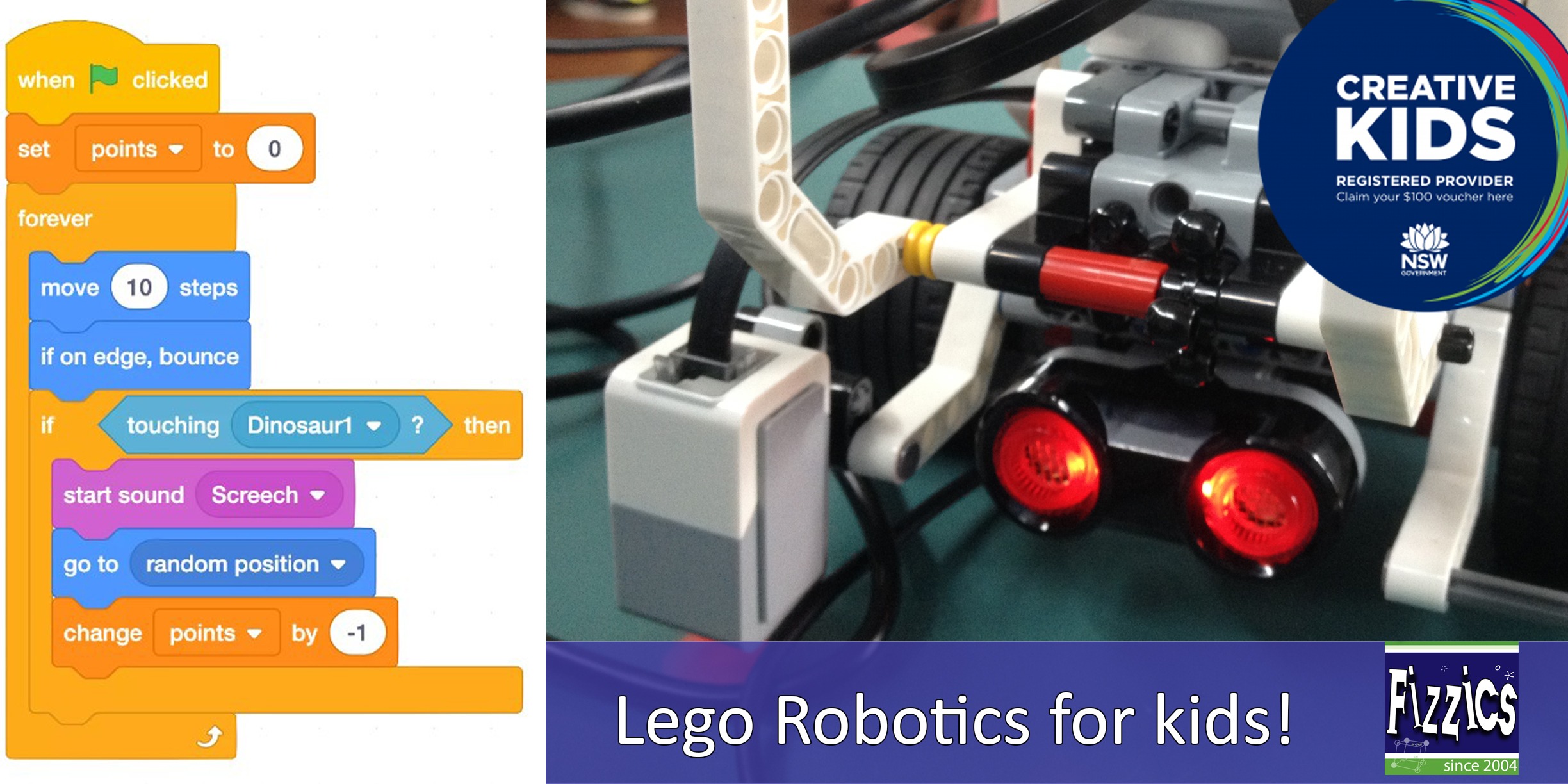
Lego Robotics, Sydney Olympic Park Jan 2024
![]() Jan 24, 2024
Jan 24, 2024
![]() 9AM - 12PM
9AM - 12PM
Price: $50
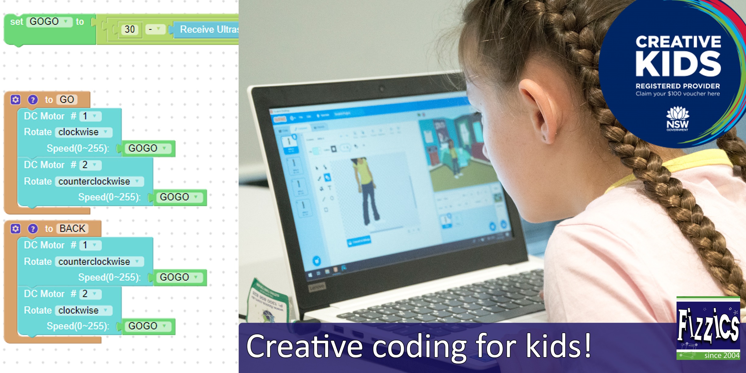
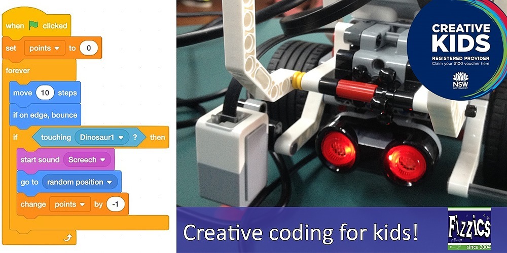
Creative Coding, Sydney Olympic Park Jan 2024
![]() Jan 24, 2024
Jan 24, 2024
![]() 1PM - 4PM
1PM - 4PM
Price: $50
Creative Coding, Sydney Olympic Park July 11 2023
![]() Jul 11, 2023
Jul 11, 2023
![]() 9AM - 4PM
9AM - 4PM
Price: $100
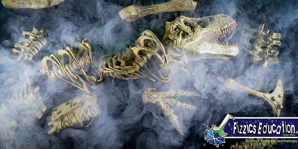
Fizzics Education STEAM Day: Robots vs Dinosaurs, Lalor, Apr 14
![]() Apr 14, 2023
Apr 14, 2023
![]() 9AM - 12PM
9AM - 12PM
Price: $45 - $50
Creative Coding, Sydney Olympic Park April 14 2023
![]() Apr 14, 2023
Apr 14, 2023
![]() 9AM - 4PM
9AM - 4PM
Price: $100
Science@Home After School 4-Week Membership: March 2023
![]() Mar 06, 2023 - Mar 31, 2023
Mar 06, 2023 - Mar 31, 2023
![]() 4PM - 5PM
4PM - 5PM
Price: $40 - $1200
Featured Articles
Topics
- Art [17]
- Edchat [223]
- Maths [14]
- Scied [34]
- literacy [8]
- Higher education [4]
- Child online safety [1]
- Esports [1]
- Easter [1]
- Augmented Reality [4]
- Edtech [68]
- Media [18]
- Science [6]
- secondary education [45]
- teacher [1]
- dis [0]
- biotechnology [1]
- curriculum [2]
- AussieED [1]
- Education [216]
- Museums [31]
- Science News [4]
- Christmas [1]
- Vacation care [1]
- Film [1]
- computational thinking [2]
- high [1]
- Awards [14]
- Educhange [5]
- Music [3]
- Social Media [8]
- experiments [6]
- middle school [2]
- Inquiry-based learning [5]
- digital technologies [5]
- Earth science [2]
- Big History [1]
- Environment [39]
- NASA [6]
- Soils [1]
- seasonal [1]
- Artificial Intelligence [4]
- List [1]
- Games [1]
- Medicine [1]
- Biology [44]
- Events [46]
- National Science Week [3]
- Space Science [34]
- competitions [13]
- Sustainability [13]
- Student investigation [2]
- Social Emotional Learning [3]
- CAST test [1]
- Books [3]
- Farming [1]
- Outdoors [36]
- Sport [8]
- careers [11]
- UN SDGs [4]
- collaboration [1]
- Engineering [4]
- US Education [1]
- China [1]
- Food [5]
- Outreach [36]
- STEM [232]
- Physics [6]
- Global [2]
- K to 2 education [1]
- Virtual reality [2]
- citizen science [1]
- Churchill Fellowship [19]
- Gaming [8]
- Ozscied [2]
- Teaching [267]
- Chemistry [5]
- International [1]
- Photography [1]
- Play [1]
- numeracy [1]
- Cleveland [1]
- Gifted [7]
- Podcasts [119]
- Television [2]
- design thinking [8]
- Chinese student visits [1]
- Parenting [4]
- preservice teaching [5]
- Higher order thinking [1]
- Club [4]
- History [4]
- Pop Culture [4]
- Toys & Gadgets [1]
- project-based learning [5]
- Science & Technology Camps [1]
- Lesson ideas [1]
- Comedy [2]
- Philosophy [1]
- Coding [14]
- Indigenous [3]
- Preschool [24]
- Video Conferencing [40]
- family [2]
- Design [2]
- Lab Tech [1]
- math [1]
- Pakistan [1]
- Cooking [3]
- Kids [36]
- Remote Education [18]
- Virtual Excursions [9]
- Inclusive education [6]
- Oceans [6]
- Leadership [1]
- Electricity [1]
- Agritech [1]
- Dinosaurs [7]
- Kids Parties [5]
- Robotics [12]
- Edutech [26]
- Classroom management [1]
- video conference [1]
- special needs [1]
- scholarship [1]
- Botany [1]
- Apps [11]
- Distance Education [52]
- Kitchen Chemistry [7]
- Safety [2]
- Distance Learning [19]
- Student encouragement [2]
- online [5]
- image [1]
- Africa [1]
- English [1]
- Agriculture [5]
- Eastershow [2]
- Maker Space [11]
- Scicomm [141]
- primary education [46]
- STEAM [10]
- virtual [2]
- gamification [2]
- Asia Pacific [1]


Comments